|
A DESCRIPTION OF THE COUNTY
AND ITS TOWNSHIPS
Greene County is a member of that very fertile group of
counties in southwestern Ohio drained by the two Miami
Rivers and their tributaries. In its average value of
farm lands per acre ($31.63 according to the census of
1900), Greene County stands twelfth among the 88 counties of
the State, and the counties which outrank her include within
their limits the cities of Cleveland, Cincinnati. Columbus,
Dayton, Akron, Canton, Springfield, and Hamilton, which of
course affect favorably the prices of land about them.
The county is traversed from north to south by the wide
alluvial valley of the Little Miami; its northwest corner is
crossed by the Mad River valley; and connecting these two is
a broad valley, excavated ages ago by the Mad River when its
course was different from the present, but now occupied by
the little stream called Beaver Creek.
Greene County lies within the area covered by the
Glacial Drift. This is a deposit of clay, sand,
gravel, and bowlders which, geologists agree, was carried
southward from the region of the lakes, and deposited in its
present position, by glaciers. The weathering of the
drift produced the county's fertile soils. These soils
include: (1) The black upland soil, excellent for corn and
blue grass, formed by the weathering of the drift where it
lay in flat tracts, and found especially in Ross and the
other
Page 82 -
eastern townships. (2) The common upland clay soil
(often called "oak land" because various oaks, especially
white oak, naturally grow on it). It is derived from
the drift where the surface was sloping, and is a very
durable soil and productive when properly cultivated.
(3) The rather dark-colored and very productive soil known
as "sugar land," on which grow naturally not only sugar
maples but also ash, hickory, walnut, etc. In some
places it is called "mulatto" soil. It was formed from
gravels on the highlands. (4) The bottom lands of the
valleys, deposited by the agency of the streams.
Underneath the drift, in a typical section of the county,
lies what geologists have called the Niagara group of rocks,
consisting of limestones interspersed with shales, and
belonging to the Upper Silurian period. It is found
over the entire eastern half of the comity and also in a
small area in Beaver Creek Township. Its
Page 83 -
beds of limestone, in descending order, are: the Guelph or
Cedarville, the Springfield, the West Union, and the Dayton.
The two former are chiefly valuable for lime and road metal
and the two latter for building purposes, although much
common building stone has been taken from the Springfield
bed. The large output of lime from the Cedarville
kilns comes from the Cedarville bed, while the Dayton stone
is quarried at New Jasper and elsewhere and may be seen in
the new Episcopal church in Xenia and in many other
buildings in the county. Each product excels in
CEDARVILLE CLIFFS.
The Pass
its own field and finds a
wide market. Separating the Dayton and West Union beds
is a layer of shale, best seen on the Neff Grounds at Yellow
Springs. It is this peculiar arrangement of strata -
soft shale capped by limestone - that produced equally the
gorges of the Little Miami and Massie's Creek in Greene
Page 84 -
County and the gorge of the Niagara River. The water,
wearing away the shale more easily than the overlying
limestone, undermines the latter till at length a portion
breaks off, and this process is repeated many times as the
falls recede up stream, leaving below them an
ever-lengthening ravine. Thus the Falls of Niagara and
the little cascade at Yellow Springs are very closely
related indeed, for they fall over the same bed of limestone
and gnaw away at the same stratum of shale at their base.
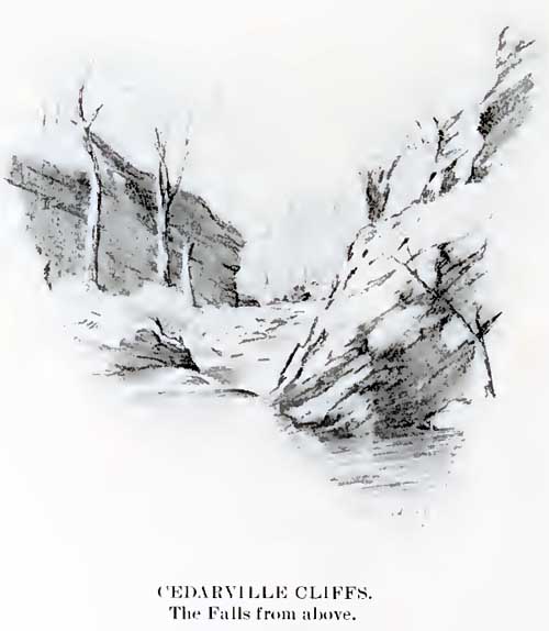
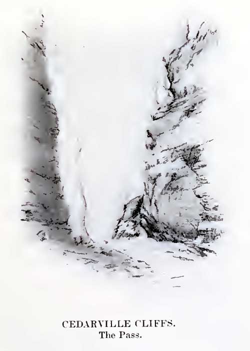
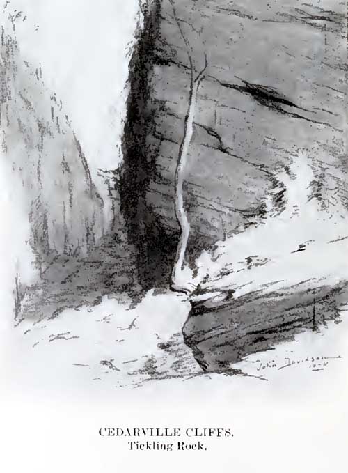
The scenery at Clifton and Yellow Springs, described
elsewhere, is well known; the "Cedarville cliffs," on
Massie's Creek, are less accessible and less striking,
perhaps, but no whit behind the others in beauty.
CEDARVILLE CLIFFS.
Tickling Rock.
Page 85 -
Next
below the Niagara group lies the Clinton, and near New
Jasper both are quarried, the Niagara (Dayton ) for building
and the Clinton for road metal. The Clinton is also
Upper Silurian, but beneath it is a series of limestones and
shales which geologists call the Hudson or Cincinnati and
which they assign in the Lower Silurian, or Ordovician,
period. These rocks are not exposed in the higher,
eastern half of the county, as they are there covered by the
Clinton and Niagara, hut in the western part, where the
upper rocks have been ground away, the Hudson series is
found immediately below the blanket of drift and may be seen
plainly in ravines and cuts, as for instance about Goe's
Station. The Hudson limestone abounds in fossils; it
has furnished some building stone. These are the oldest
rocks which may be found on the surface of Greene County;
beneath them, of course, lie still older ones, some of which
have been penetrated to some depth by wells in the effort to
find deposits of oil and gas, but so far without paying
results.
The county has an area of about 460 square miles, a
population (in 1900) of 31,613, and a tax value (in 1907) of
$19,302,291, corresponding to about $40,000,000 actual
value. Its principal crops in 1907 were as follows:
corn, 2,588,294 bushels (average, 46 bushels to the acre);
wheat, 721,592 bushels, (17 per acre); oats, 109,236
bushels; potatoes, 70,561 bushels; tomatoes, 19,685 bushels;
rye, 12,227 bushels; barley, 4,085 bushels; clover hay, 721
tons; other hay, 25,756 tons; alfalfa, 302 tons; tobacco,
627,908 pounds; eggs, 750,995 dozen; maple syrup, 5,745
gallons. In April, 1908, there were in the county, in
roun numbers, 10,000 horses, 15,000 attle, 18,000 sheep, and
32,000 hogs. In teh raising of fancy stock the county
holds a remarkable record, which is told of in the special
article by Mr. O. E. Bradfute.
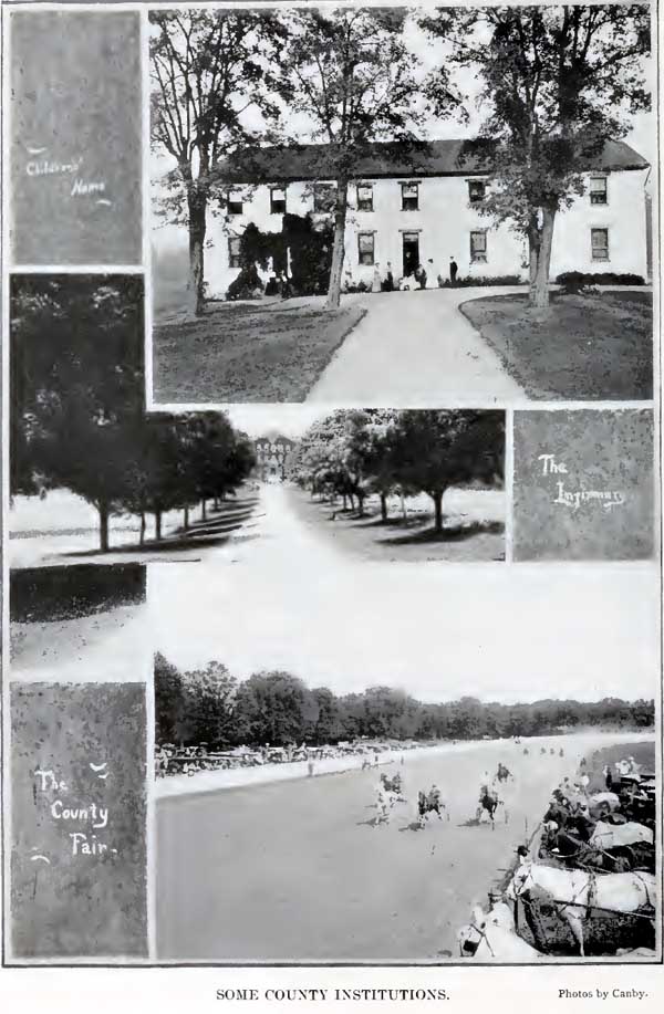
The Greene County Agricultural
Society was organized in 1839, and has held a county fair
annually ever since. The original grounds were between
Columbus Avenue and Church Street, in Xenia, but for many
years the fair has been held in leased grounds on the
northwestern edge of the city. It seems probable that
the county will soon purchase these grounds. Last year
the Society's receipts were almost 10,000 and nearly as much
was
Page 86 -
SOME COUNTY INSTITUTIONS>
Children's Home
The Infirmary
The County Fair.
Page 87 -
paid out, including$8,700 in premiums and racing purses.
The fair lasts four days and the exhibits are always
notable, as befits the champion stock county. The
records for the half mile track are: pace, 2:11¼;
trot, 2:15. The Society has between six and seven
hundred members.
There are in the county twelve townships and thirty
voting precincts. In politics the county has been
Republican ever since the organization of the Republican
party. The normal plurality is in the neighborhood of
2000, but owing to factional trouble in the dominant party
Matthew R. Denver, Democratic, came within six votes
of carrying the county in 1906.
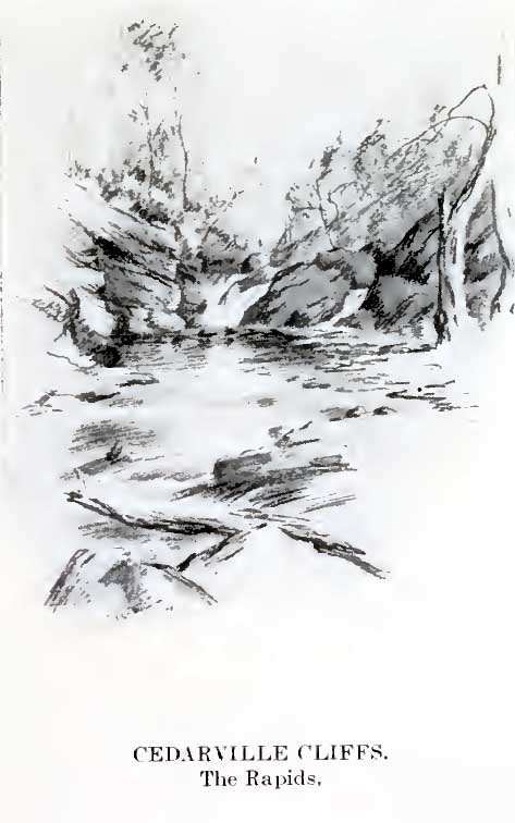
CEDARVILLE CLIFFS
TheRapids.
Page 88 -
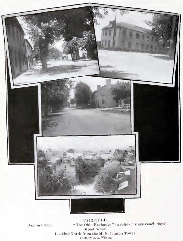
FAIRFIELD
Dayton Street "The Ohio Exchange" (a
relic of stage coach days)
Street Scene
Looking North from the M. E. Church Tower.
Photo by O. A. Wilson.
< CLICK HERE to RETURN to
TABLE of CONTENTS >
|